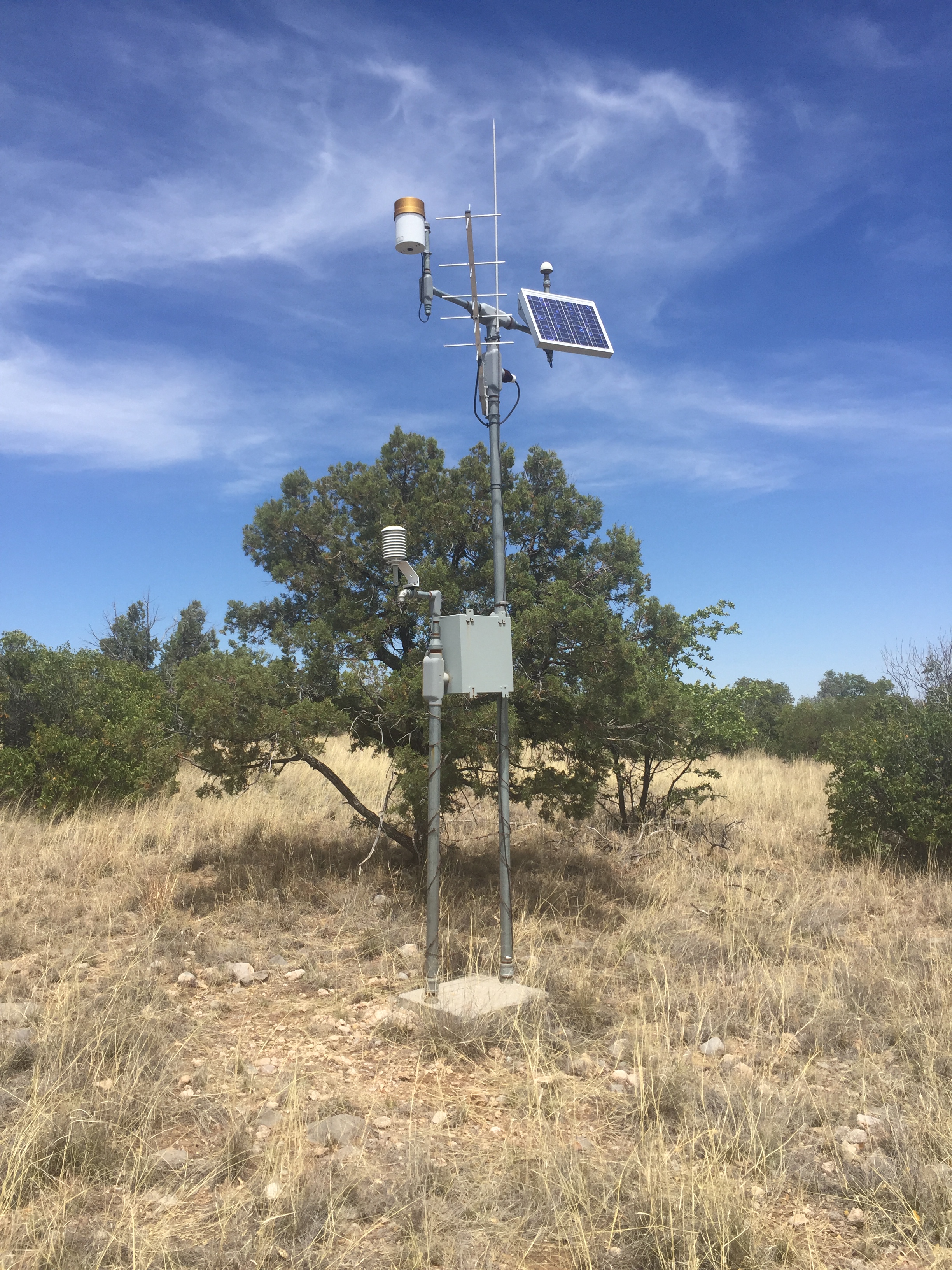
Black Oak, AZ

      Site ID:     boc
      Latitude:     31.556800 N
      Longitude:     -110.544200 W
      Elevation:     1566 meters
      Active:     N
      Site Table:     Site Table
      Data:     Realtime Display

Instrument Name     Project Name     Install Date     Data Types

Instrument Name     Project Name     Install Date     Removal Date     Data Types
Datalogger CR1000     Hydrometeorology Testbed - West     2008-05-21     2018-11-15          view
Tipping Bucket TE525     Hydrometeorology Testbed - West     2008-05-21     2021-06-09          view
Temp/RH HMP45C     Hydrometeorology Testbed - West     2008-05-21     2021-06-09          view
Soil Moisture 10cm     Hydrometeorology Testbed - West     2008-05-21     2021-06-09          view
Soil Moisture 15cm     Hydrometeorology Testbed - West     2008-05-21     2021-06-09          view
Soil Temperature 10cm     Hydrometeorology Testbed - West     2008-05-21     2021-06-09          view
Soil Temperature 15cm     Hydrometeorology Testbed - West     2008-05-21     2021-06-09          view
Datalogger CR1000     Hydrometeorology Testbed - West     2018-11-15     2021-06-09          view

  OutageID     SiteID     Failure Type     Start Date      End Date      Description     Resolution Description  
738 boc Hardware - Instrument 2020-06-29 20:25:00 2021-06-09 15:05:00 5-cm soil temperature sensor malfunction site removed
460 boc Communication - GOES 2015-08-04 00:00:00 2016-06-17 00:00:00 Transmission of data via GOES satellite stopped. Update, the service is intermittent. Replaced the GOES transmitter.
308 boc Communication - GOES 2013-05-19 23:00:00 2013-07-17 03:00:00 No transmission of data via GOES satellite. 5/23/13, After further investigation trouble appears to be with the GOES transmitter equipment. GOES transmitter replaced.
245 boc Hardware - Instrument 2012-07-02 21:00:00 2012-07-05 22:00:00 Tipping bucket clogged. Forest service dept unclogged tipping bucket.