![[NOAA]](../img/noaa.gif) ![[ETL]](../img/etl.gif) |
|
|
Daily Nauru99 Report NOAA Ship RONALD H. BROWN 06/16/99 -> Next
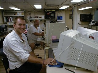
Time: 1530 Local, 0600 Z Notable Events and Anecdotes: Two drills today - fire and abandon ship. We will change ship time from 1830 to 1900 today (new ship time UTC-10). Scientists began organizing internal web pages to share data and graphical output. Instrument Status: S-band radar and DABUL were both repaired and are now operating normally. C-band radar is doing surveillance scans every 30 min. |
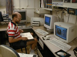
Hans Verlinde at C-band radar console in ship's computer lab.
|
| NOAA |
ETL |
Nauru 99 |
Webmaster Updated: 16 June 1999 |
|