![[NOAA]](../img/noaa.gif) ![[ETL]](../img/etl.gif) |
|
|
Daily Nauru99 Report NOAA Ship RONALD H. BROWN Previous <- 06/21/99 -> Next
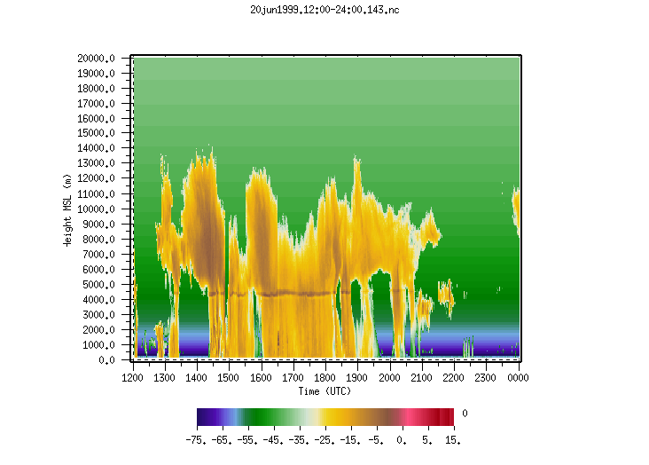
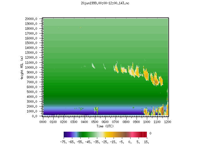
Time: 1515 Local, 0315 Z Notable Events and Anecdotes: Good 2-way HF radio contact with Mirai last night, but neither ship could hear Nauru Ops Center. Ops Center heard both ships well, however, and will charge transmitter batteries overnight in attempt to improve its transmissions. Several islands were visible en route to passage through the Solomon Islands chain between Bougainville and Choiseul Islands. At 0800 local time ship advanced its clocks to 0900 local. Ship time is now UTC plus 12 hours. Instrument Status: C-band radar still inoperable. Doppler lidar took (unstabilized) RHI and VAD data between rain showers. |
|
| NOAA |
ETL |
Nauru 99 |
Webmaster Updated: 21 June 1999 |
|