![[NOAA]](../img/noaa.gif) ![[ETL]](../img/etl.gif) |
|
|
Daily Nauru99 Report NOAA Ship RONALD H. BROWN Previous <- 7/5/99 -> Next
Time:1445 Local, 0245 Z
Visual Observations:Another typical fair day near Nauru. Winds are brisk. Notable Events and Anecdotes:On July 4 RHB steamed from its small triangle position to within 1 km of ARCS2 on Nauru, arriving about 1315 local time, July 4 The cloud radar on RHB was turned off after interference with ARCS MMCR was noted (about 2.5 km separation). Apologies for not filing a daily report - all hands and 21 from Nauru got overly involved with the fantail BBQ and Independence Day celebration. After informing all local ships and the Harbor Master, RHB shot off 3 distress flares after sunset for training; these served double duty as fireworks. The film crew left July 4 after spending 2 nights on board. Deployments of RHB were planned for the remaining days of the campaign. Ann Weickmann and Scott Sandberg departed for Boulder yesterday, Volker Matthias for Germany today. A "bus schedule" was established for regular transportation of people to and from Nauru. Instrument Status:Both S-band and 915-MHz radars are experiencing increased clutter from Nauru, but apparenetly they are not being affected by similar radars on Nauru. |
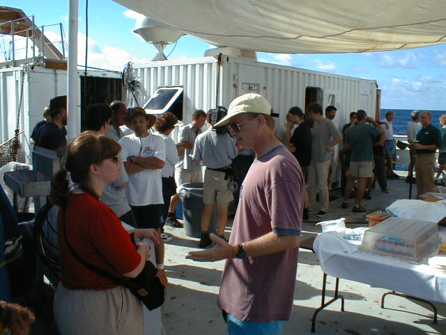
July 4 celebration and cookout on RHB just off Nauru. In the foreground are DOE's Robin Perez and film producer Hans Anderson of New Zealand. 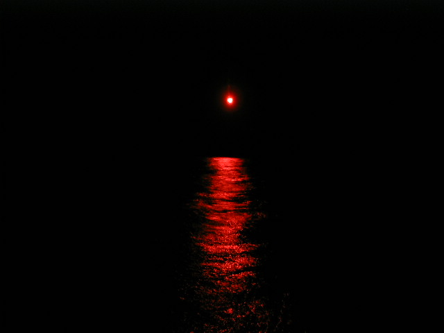
Last light from a training flare as it falls into Nauru waters. |
| NOAA |
ETL |
Nauru 99 |
Webmaster Updated: June 1999 |
|