![[NOAA]](../img/noaa.gif) ![[ETL]](../img/etl.gif) |
|
|
Daily Nauru99 Report NOAA Ship RONALD H. BROWN Previous <- 7/7/99 -> Next
Time:1500 Local, 0300 Z
Visual Observations: A cloudy day (multi-level) with little or no precipitation in the area. Winds are climatologically average from NE. Notable Events and Anecdotes: Ship scientists had several long discussions today debating deployment options to best answer remaining scientific and instrument questions. After conferring with Chuck Long on the ship, we decided on moving the ship tonight to clean flow 2 km upwind of Nauru, and to remain there for 24 - 48 hours. Other options will then be executed depending on meteorological conditions. Large numbers of people continue to visit the island and ship via RHIB. Fire and abandon ship drills caught new arrivals and visitors by surprise. Instrument Status: All is well. |

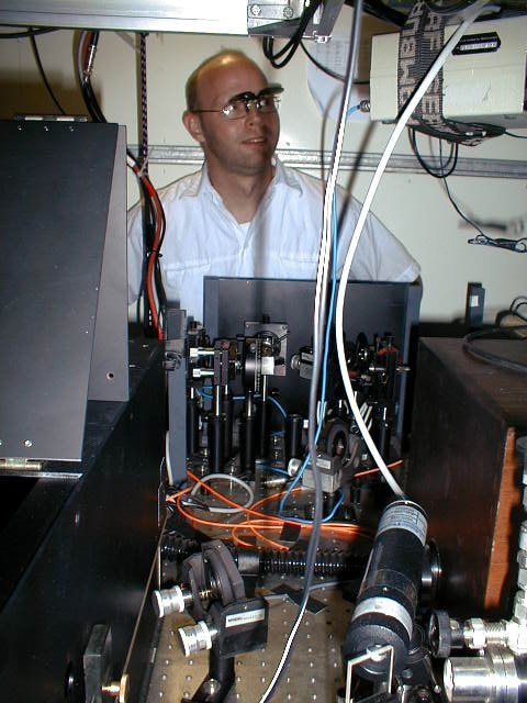
Boba Stankov of NOAA/ETL at her work station in the computer lab, working to combine satellite data with shipborne measurements for more accurate products.
|
| NOAA |
ETL |
Nauru 99 |
Webmaster Updated: June 1999 |
|