![[NOAA]](../img/noaa.gif) ![[ETL]](../img/etl.gif) |
|
|
Daily Nauru99 Report NOAA Ship RONALD H. BROWN Previous <- 7/8/99 -> Next
Time:1445 Local, 0245 Z
Visual Observations:Very very convective and wet day early, then clearing with stronger winds in afternoon. Many cloud layers. Rough seas and 2-4 m swells. Notable Events and Anecdotes:Overnight we moved to north of the island, but winds shifted from northesaterly to southeasterly. This caused us to move again this mornoing to the east side of the island, again 2 km offshore, directly upwind of ARCS on the west side. Two strong squalls passed the ship before noon. The first caught Ed Westwater in the RHIB midway between Nauru and the ship. He got pretty wet but luckily had his suitcase in a plastic bag. Jeff Otten made it to Fiji, but his luggage did not. Earliest hope of seeing it in Nauru is 3 days hence. We hope to see Jeff tonight. Too bad we didn't have today's storms when the Mirai was nearby - they were perfect for dual Doppler. Instrument Status:S-band and C-band radars performed well in the precipitation. It was not a good day for lidars, radiometers, and photometers. |
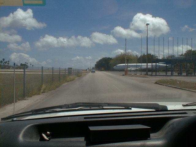
Nauru Airport. Planes must taxi across the main highway to get from the terminal to the runway. Flinders University Cessna 404 is the small plane in front of the 737. |
| NOAA |
ETL |
Nauru 99 |
Webmaster Updated: June 1999 |
|