Mapping Climate Projections in the Oceans
The Physical Sciences Laboratory and NOAA Fisheries collaborate on new method to assess fish vulnerability to climate change
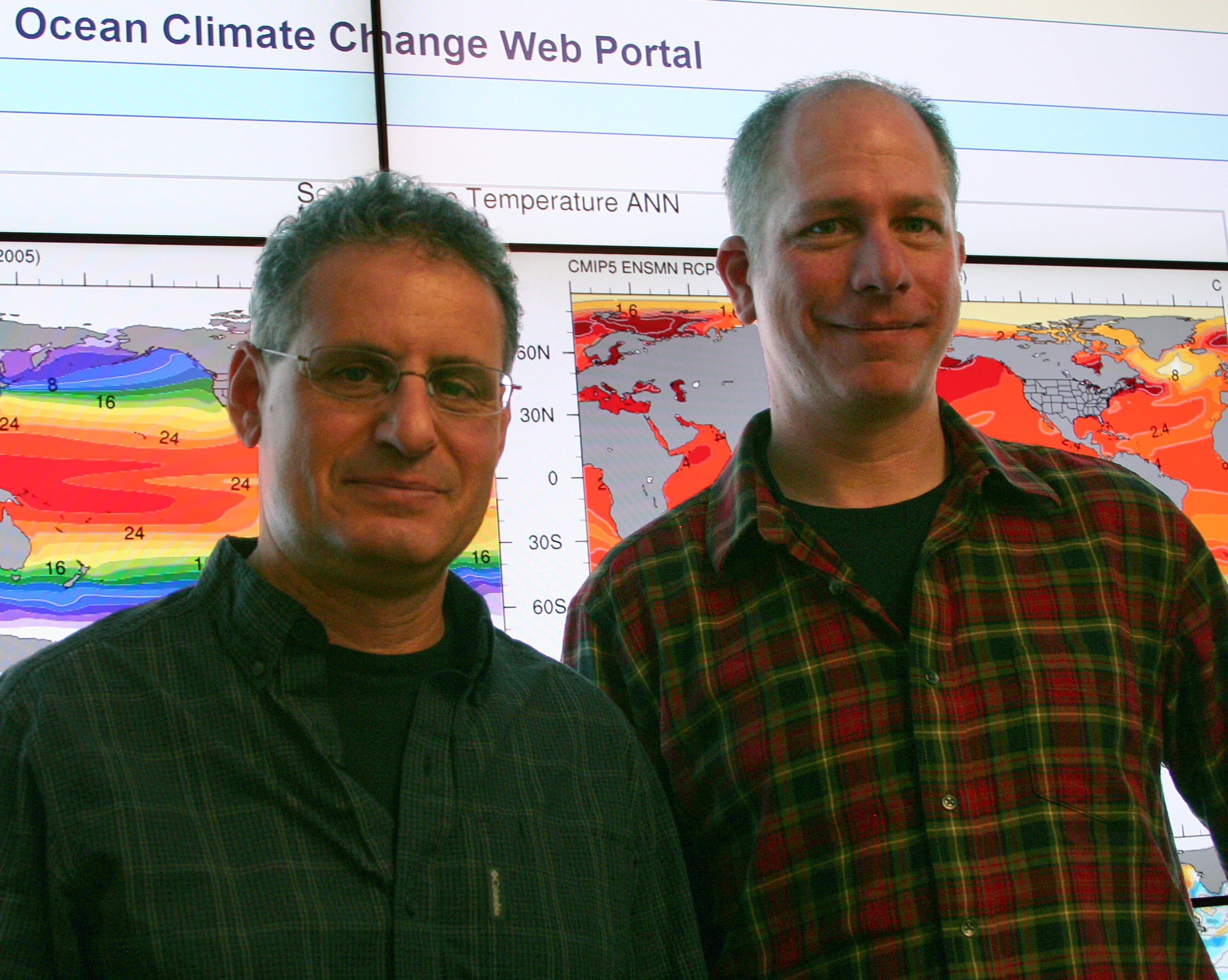
An interview with Mike Alexander, research meteorologist at NOAA Physical Sciences Laboratory (PSL) in Boulder, Colorado, about a new tool that will help map climate change effects on oceans
What is the Ocean Climate Projection Web Portal?
It's an online system that provides an easy way to display maps of climate data, such as ocean temperature and salinity, over portions of the globe. For example, it can allow you to view how the temperature in the North Atlantic would change in the 21st century as compared with the 20th century.
How unique is this web tool that you've developed?
There are tools that show temperature and precipitation over the U.S., but our portal is more comprehensive because it includes ocean-specific information like sea surface temperature and salinity, and also provides more statistical options. Users can zoom in and create plots for any region of interest on the planet.
Who is the tool designed for?
We are designing the portal for scientists, resource managers, educators and the general public.
What sparked your collaboration with NOAA Fisheries scientists to help develop a specific process for using climate information to help fisheries scientists evaluate the vulnerability of specific stocks of fish?
A few years ago, we worked with Jonathan Hare, a NOAA Fisheries scientist, on a study of the Atlantic croaker; a silvery-pink fish found along the U.S. East Coast. We provided climate information and expertise so Dr. Hare could analyze how croaker populations might be affected by warmer ocean temperatures. The study suggested that providing climate data to a broader community would be useful and this helped inspire us to develop the web portal.
How specifically will the portal be used by Fisheries scientists to evaluate stocks?
The portal will provide fisheries scientists and managers with easy access to existing projections of changes in climate and ocean conditions for all U.S. marine regions and world-wide to help them assess, prepare for and respond to possible future impacts on marine ecosystems and fisheries. For example, this information is used in the new methodology to assess the vulnerability of U.S. fish stocks to a changing climate. It will also be useful in more detailed assessments of future conditions and possible management options to address specific issues through the NOAA Integrated Ecosystem Assessment Program. The program is developing a suite of indicators that managers can use to make decisions about fish stocks. The goal is to use a more holistic approach that includes information such as interactions through the food web, climate change, and societal needs.
What are the major steps you took to design and put into operation the portal?
We began by obtaining a large volume of climate data and model output from centers around the world. The data then had to be put on the same grid. In other words, points on a map had to be translated into similar locations. Once the data were on a common grid, monthly climate model output was then distilled into seasonal and annual mean statistics. The most difficult part is the software programming, which tells the computer where to grab the data and how to map the information. The design of the underlying software allows the portal to work properly and display the data in an easy to read manner.
Where does the climate information come from?
The information comes from climate models and Earth system models of more than 20 centers around the world. Climate models simulate how the global state of the atmosphere, oceans, sea ice, and land change over time; for example they simulate the winds in the jet stream, precipitation over the United States, ocean and land temperatures, and sea ice coverage. Earth system models include these physical variables plus ocean chemical and biological processes that alter the carbon cycle.
How will you update the portal when new Intergovernmental Panel on Climate Change (IPCC) reports are released?
Data from the 5th Assessment Report from the IPCC became available over the past year. Over the next few years, we'll continue to add more variables and ways to present the data.
Now that you've developed a portal on ocean climate change, are you also developing a similar portal for land climate change to assist land planners?
We are working with the U.S. Bureau of Reclamation and the U.S. Army Corps of Engineers to develop a portal that emphasizes land and river applications, so that it can be used by water managers. We also plan to develop short video tutorials in the near future, to help guide portal users.