ATOMIC field campaign kicks off in the tropical N. Atlantic: Researchers to study key clouds and air–ocean processes affecting weather and climate
Clouds close to the surface of the ocean, called shallow convective clouds, are found around the world – but are poorly represented in weather and climate models. To better understand how these clouds form and affect weather and climate patterns, the ESRL Physical Sciences Laboratory (PSL) is partnering with other NOAA laboratories and programs, several universities, and other institutions to lead the Atlantic Tradewind Ocean–Atmosphere Mesoscale Interaction Campaign (ATOMIC). ATOMIC is the U.S. complement to the European field campaign called EUREC4A.
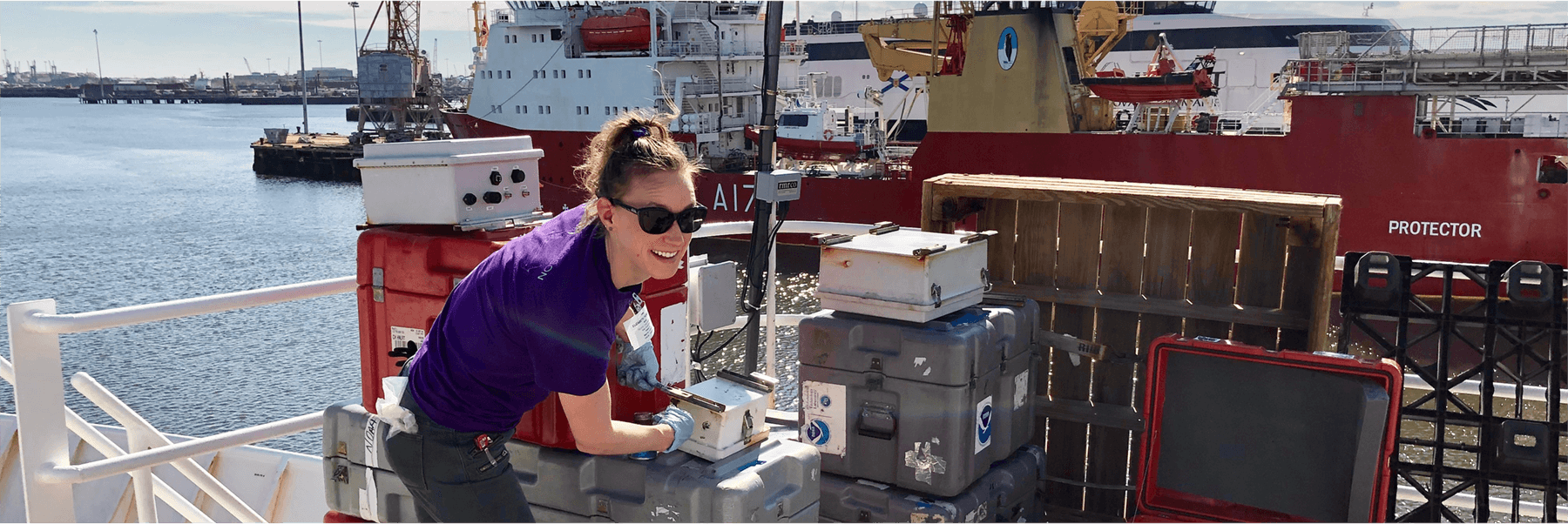
“This is a big-scale experiment, which includes four ships and four aircraft,” said PSL physicist Chris Fairall, an ATOMIC lead investigator. “There are also a lot more ocean assets taking more sophisticated measurements than we have ever been able to deploy.”
From January 6 through February 13, 2020, ATOMIC will investigate the clouds, atmosphere, and ocean in the tropical North Atlantic east of Barbados. This region, in the heart of the trade winds, is representative of others across the world’s oceans with shallow convective clouds. Some of the Earth’s largest ocean eddies also shed here from the Amazon and Orinoco Rivers, impacting ocean circulation and other properties. By conducting the study during winter, researchers can make observations in near isolation from hurricane impacts.
NOAA is launching its research ship the Ronald H. Brown and WP-3D Orion “Hurricane Hunter” aircraft. The ships and airplanes, as well as remotely-controlled aerial and ocean crafts will work together to help characterize ocean and atmospheric properties.
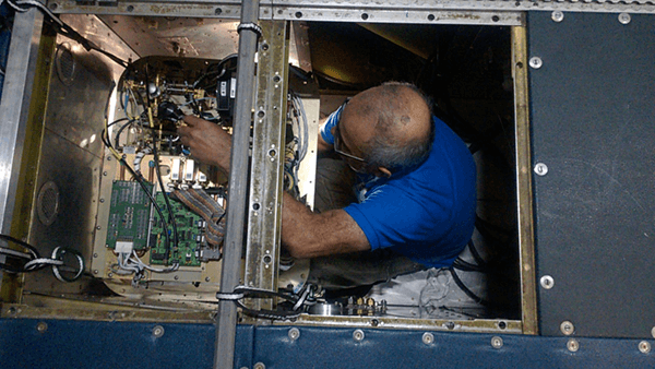
Using a number of internally-developed observing instruments, NOAA and CIRES researchers from PSL will collect measurements aboard the NOAA ship and airplane, from Wave Gliders and SWIFT drifting buoys (in partnership with the University of Washington), and potentially from an island-based, remotely-controlled small aircraft (in partnership with the University of Colorado). PSL researchers will also provide forecast guidance for flight planning during the study and conduct post-experiment data and model analysis.
“With this concentration of observations in a small region, the weather models’ data will be much more accurate than normal,” said Fairall.
A better understanding of how the atmosphere and ocean interact and create clouds in this region will help NOAA advance its forecast models and improve predictions of U.S. weather and climate extremes.
Learn More:
Media Contact: Monica.Allen@noaa.gov, NOAA Communications.
Posted: January 9, 2020