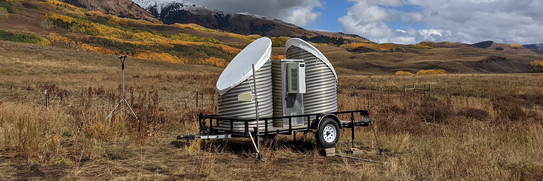
Technique uses PSL snow-level radar data to estimate the number and size of raindrops in precipitation

To estimate how much it will rain, forecasters rely on numerical weather prediction (NWP) computer models that incorporate a variety of atmospheric information. Some useful detailed measurements that could contribute to higher forecast accuracy have not been widely available. One such variable is the drop-size distribution, which describes the number and size of raindrops in precipitation. Most drop-size distributions come from instruments on the ground. In a study led by the Physical Sciences Laboratory (PSL) and CIRES and published in the Journal of Atmospheric and Oceanic Technology, drop-size distributions are estimated using data from one of PSL's snow-level radars (which are used primarily to measure the level in the atmosphere where snow turns to rain). This allows profiles of drop-size distributions at many heights above the radar. Having height profiles of drop-size distributions can provide insight into the processes inside the rain as it falls to the ground. These profiles can help the advancement of weather prediction models, which will improve precipitation forecasts.
The estimated drop-size distributions in this study provide evidence that the snow-level radar can retrieve the smaller drop sizes constituting the “drizzle” mode part of the drop-size distributions. These smaller drop sizes are not observed by many observing instruments. Further work is needed to validate the described technique for estimating drop-size distributions in more varied precipitation types.
The quantitative precipitation forecast (QPF) is the expected liquid or melted precipitation that is expected to occur over a specified period and area. QPF is one of the most challenging aspects of operational weather forecasting because the NWP models are not able to account for every drop in simulating liquid precipitation. The technique described in this study will eventually allow for direct comparisons between the drop-size distribution profiles observed by vertically pointing radar and the drop-size distribution profiles simulated by NWP, which will lead to improvements in the microphysical parameterizations used in NWP and more accurate QPF.
Paul E. Johnston (PSL/CIRES), Christopher A. Williams, and Allen B. White(PSL) (2022): Rain Drop Size Distributions Estimated from NOAA Snow-Level Radar Data, J. Atmos. Ocean. Technol., https://doi.org/10.1175/JTECH-D-21-0049.1.
Posted: February 1, 2023