Snow-level estimates using operational polarimetric weather radar measurements
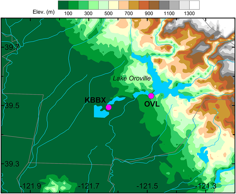
In 2012, the National Weather Service upgraded its network of operational weather radars, which now also measure new radar variables that are useful for identifying melting layer—the region in the atmosphere where snow melts into rain. This melting layer region usually extends from several kilometers to several dozens of kilometers as seen along nearly horizontal operational radar beams. A new study in the April issue of the Journal of Hydrometeorology suggests an approach for using operational radar measurements to infer the vertical level (i.e., snow-level) in the atmosphere above/below which precipitation falls mostly as snow or rain. Researchers from the Cooperative Institute for Research in Environmental Sciences (CIRES) and ESRL’s Physical Sciences Laboratory compared the operational radar estimates of the snow-level, near the Oroville dam in California with results from a dedicated vertically-pointing NOAA Snow-Level Radar and found them to be in good agreement—typically within 160 m.
Snow-level information is important for weather forecasting. It helps to predict whether a precipitation event is likely to produce mostly rain in a watershed, which may lead to flash flooding, or if the precipitation will mostly fall as snow and may not have an immediate effect on streamflow. Operational weather radar measurements can provide reliable estimates of snow-level heights in the vicinity of these radar locations. It can greatly expand the area from where snow-level information is currently available since there are about 160 operational weather radars in the lower 48 states (there are only about 10 dedicated snow-level radars).
Posted: March 28, 2017

Authors of Snow-level estimates using operational polarimetric weather radar measurements are Sergey Matrosov, Rob Cifelli, Allen White, and Timothy Coleman of the ESRL Physical Sciences Laboratory.