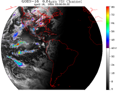
GOES East Full Disk Imagery
GOES West Full Disk imagery
GOES West Regional imagery
Data courtesy of NOAA/NESDIS/CLASS
Disclaimer! Minimal quality control measures are
taken with the real-time data feeds. As a result,
occasional bad data may contaminate the images. For
this reason, these images are intended for qualitative
analysis only.


