In brief: The crucial role of the initial state in MJO prediction
Posted: May 27, 2025
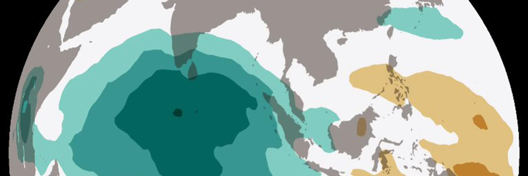
It develops near the equator, often travels from the Indian Ocean to the central Pacific Ocean, and can influence weather in the United States, such as extreme rainfall on the west coast. Better understanding it can help explain floods and droughts in places like California weeks in advance.
What is it? The Madden-Julian Oscillation - commonly referred to as the MJO.
The MJO is a mode of sub-seasonal (weeks to a few months) atmospheric variability that influences the location and strength of tropical precipitation. It is a disturbance of clouds, rainfall, winds, and pressure that moves eastward across the tropics and returns to its initial starting point in 30 to 60 days, on average. It affects weather patterns in the mid-latitudes (where much of the U.S. and Europe fall) even though it occurs far away. This happens through the connection with large-scale patterns in atmospheric circulation that link weather and climate conditions across long distances.
Skillfully predicting the MJO evolution is challenging, because there are a number of complex factors that contribute to it that are not fully captured by weather models.
In brief
A new study by the Physical Sciences Laboratory’s Lisa Bengtsson in collaboration with other PSL researchers published in the Geophysical Research Letters has made a key discovery related to the impact of a forecast model’s starting state on the accuracy of MJO prediction.
The approach
- Accurate modeling of the MJO is challenging because the complex interactions between tropical convection (the rise of warm air) and large-scale atmospheric circulation, as well as the interactions between the atmosphere and ocean, are difficult to capture. Physics parameterizations (approximations) are used to help models simulate these interactions. This includes the model’s initial state of conditions.
- Researchers compared MJO predictions based on the Unified Forecast System initialized with two independent atmospheric reanalysis: the NOAA Unified Forecast System (UFS) replay data set - developed in PSL - and the Global Ensemble Forecast System (GFSv12).
- Ensemble forecasts for 15 pronounced MJO cases between 2000 and 2020 were carried out with these two sets of atmospheric initial conditions but the same ocean, ice and land surface initial state.
The results
- While forecasts based on slightly different atmospheric conditions normally differ systematically and data differences are common in the first few days being analyzed, researchers saw significant discrepancies between the two sets of forecasts when comparing MJO predictions multiple weeks out.
- The study found small differences in how weather models are initialized can lead to big changes in how the MJO evolves in forecasts. Forecasts with slightly less stable starting atmospheres - especially with upper-level atmosphere temperatures - produced stronger MJO circulation far beyond its initial state.
The impact and what's next
- The study highlights why getting the initial state of the atmosphere right when using models for MJO prediction is so important. When upper-air observations are incorporated into the initial state, vertical temperature profiles, and thus stability, are better captured. This leads to more accurate forecasts of the MJO strength and intensity, and more skillful weather prediction for the United States.
- This work was carried out in an experimental set up of the UFS. The next step is to test this finding in the upcoming operational UFS subseasonal application to aid improved operational forecast model initialization strategies.
Publication
Bengtsson, L., Tulich, S. N., Dias, J., Wolding, B., Hall, K. J. C., Gehne, M., Kiladis G. N., Pegion P. (2025). The crucial role of the initial state in MJO prediction. Geophysical Research Letters, 52, e2025GL115833. https://doi.org/10.1029/2025GL115833