Greenland's Clouds
Matthew Shupe installs instruments, blogs from Summit
Additional Images: | |
|
|
Click images for more detail | |
Katy Human, Summer 2010
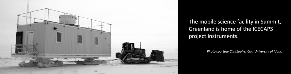
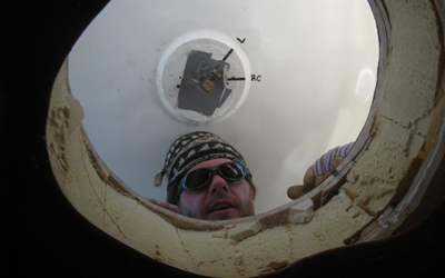
At 10,000 feet high in the middle of the Greenland Ice Sheet, CIRES researcher, Matthew Shupe of ESRL's Physical Sciences Laboratory, and colleagues spent part of May and June installing a powerful suite of climate and weather instruments to better understand how clouds contribute to rapid warming and melting in the region.
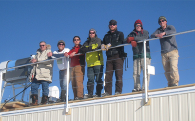
The work required the help of skilled carpenters, careful insulation of the instruments, and sleeping in tents in subzero temperatures. Some days, the air sparkled with "diamond dust" ice crystals, swept around by the wind. Others, fog swept through, leaving a rime of feather-like ice crystals on exposed surfaces.
Shupe blogged about his work in Summit. He wrote about the challenges of installing instruments, living in a tent city, and doing yoga in Carhartt pants.
Scientifically, Shupe is working with David Turner (University of Wisconsin) and Von Walden (University of Idaho) to study clouds, precipitation, and atmospheric structure, all of which are poorly understood over the Greenland Ice Sheet. Clouds can have profound effects on climate and climate change by altering the radiative balance in the atmosphere and at the surface, and through their roles in converting water between vapor, liquid, and ice phases. An improved understanding of cloud structure and processes is vital to understanding climate change.
The researchers installed many new instruments at Summit: a cloud radar, two microwave radiometers, a ceilometer, an Atmospheric Emitted Radiance Interferometer, an X-band precipitation sensor, a sodar, a cloud and aerosol polarization and backscatter lidar, and a micropulse lidar. The researchers also initiated a program to launch radiosondes twice daily, to measure the atmospheric structure above the station. The full suite of instruments will be operated for at least the next four years.
Shupe's work is funded by a five-year National Science Foundation, NSF, grant, and the Summit project is part of the Arctic Observing Network, an NSF effort to expand understanding of Arctic climate change. Additional support for the project is coming from the NOAA Earth System Research Laboratory, the Department of Energy, and Environment Canada.
The project is called ICECAPS: Integrated Characterization of Energy, Clouds, Atmospheric state, and Precipitation at Summit.