Wide Swath Radar Altimeter
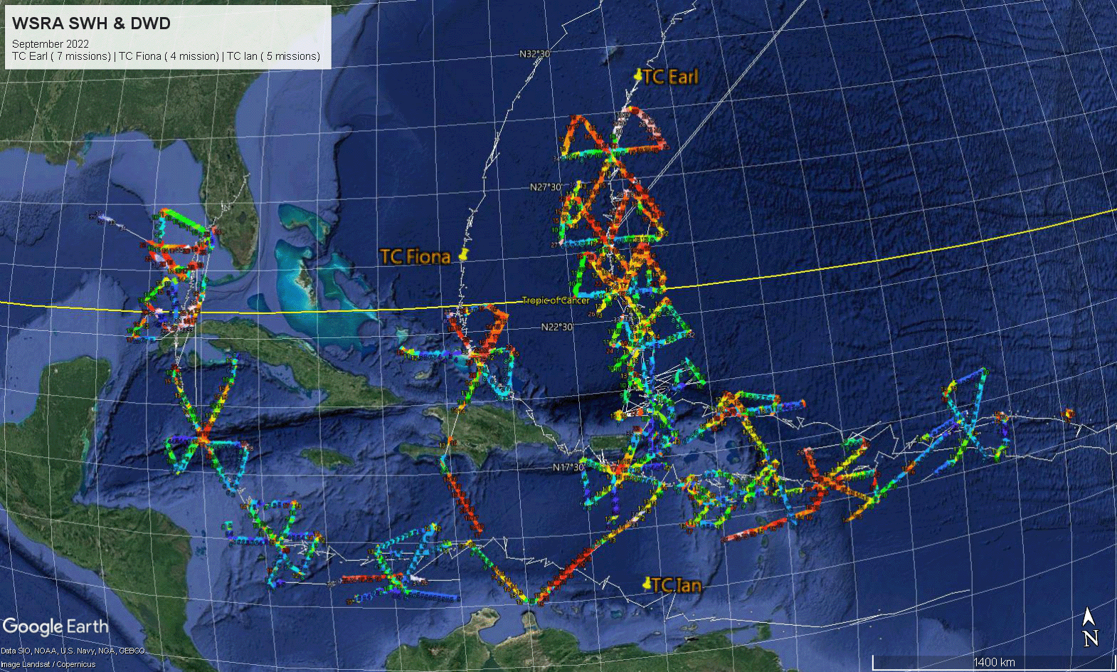
Ocean waves generated by hurricanes represent a major threat to marine safety and coastal inundation. The NOAA Wide Swath Radar Altimeter (WSRA) is a unique airborne system that provides observations of the sea surface waves and rain rate and makes them available in real-time observations to National Hurricane Center (NHC) marine forecasters.
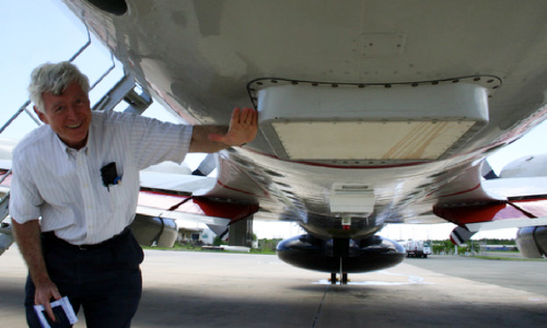
Carried on a NOAA P-3D Orion “Hurricane Hunter” aircraft, the WSRA produces a detailed map of ocean wave height, speed, and direction. The WSRA operates unattended during hurricane flights and generates information about significant ocean wave height and direction, rainfall rate, and sea surface roughness.
WSRA data products are transmitted in real-time through a satellite data link to a ground station and then to the NHC for use by forecasters. The instrument has been flown in over 70 missions since 2008. Including WSRA data in wave models also helps improve predictions of hurricane track and intensity.

Background
The WSRA was developed by ProSensing with funding from the Department of Commerce Small Business Innovation Research and NOAA Joint Hurricane Testbed programs, and additional support from the University of Massachusetts. Physical Sciences Laboratory researcher Ed Walsh, now retired, helped develop and refine the real-time processing capability and analyze the data products. PSL has also funded system refinements and in Hurricane Hunter operational use for more than 10 years.
Related Publications
Walsh, Edward (PSL), Christopher Fairall (PSL), and Ivan PopStefanija (2021): In the eye of the storm, J. Phys. Oceanogr., https://doi.org/10.1175/JPO-D-20-0219.1.
PopStefanija, I., Christopher Fairall, and Edward Walsh (2020): Mapping of directional wave spectra in hurricanes and other environments. IEEE Trans. Geosci. Remote Sens., https://doi.org/10.1109/TGRS.2020.3042904.
