|
|
||||||||||||||||||
| Instrument Name | Project Name | Install Date | Data Types |
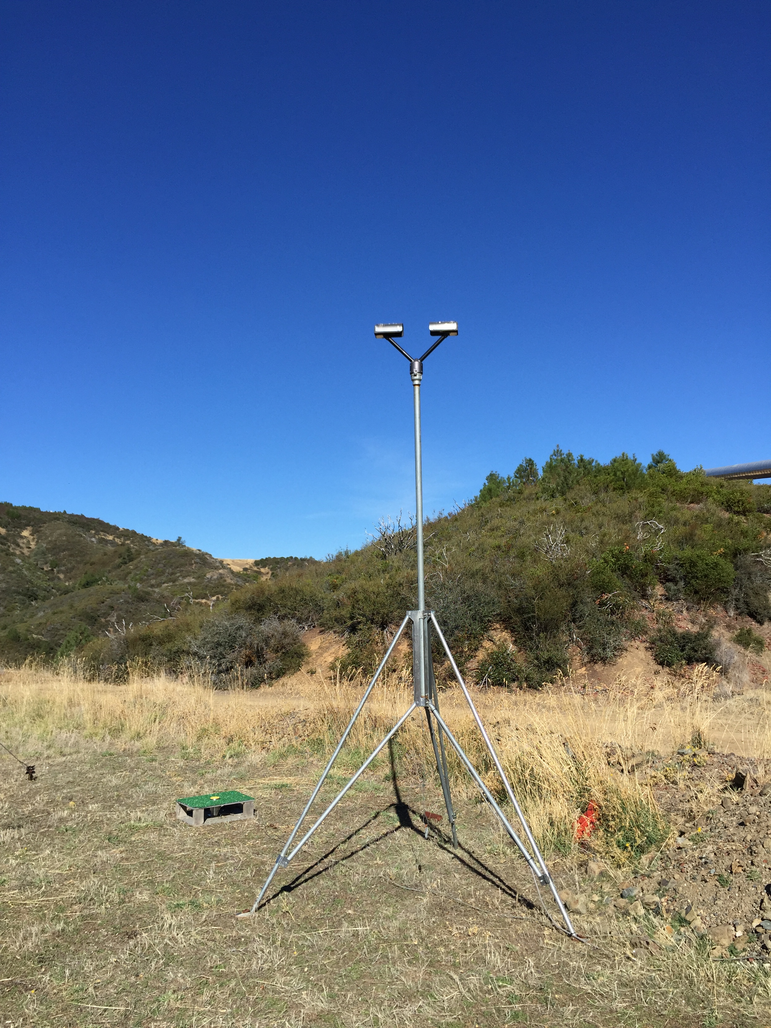
| 3 GHz Precipitation Profiler Digital | Sonoma County Water Agency | 2014-12-10 | view |
| Datalogger CR1000 | Sonoma County Water Agency | 2016-11-09 | view |
| Disdrometer Joss Impact RD-80 | Sonoma County Water Agency | 2014-12-10 | view |
| Disdrometer Parsivel Optical | Sonoma County Water Agency | 2014-12-10 | view |
| Net Radiation REBS Q7.1 | Sonoma County Water Agency | 2014-12-10 | view |
| Pressure - PTB101B | Sonoma County Water Agency | 2014-12-10 | view |
| Soil Moisture 10cm | Sonoma County Water Agency | 2016-12-01 | view |
| Soil Moisture 15cm | Sonoma County Water Agency | 2016-12-01 | view |
| Soil Moisture 20cm | Sonoma County Water Agency | 2016-12-01 | view |
| Soil Moisture 30cm | Sonoma County Water Agency | 2016-12-01 | view |
| Soil Moisture 5cm | Sonoma County Water Agency | 2016-12-01 | view |
| Soil Temperature 10cm | Sonoma County Water Agency | 2016-12-01 | view |
| Soil Temperature 15cm | Sonoma County Water Agency | 2016-12-01 | view |
| Soil Temperature 20cm | Sonoma County Water Agency | 2016-12-01 | view |
| Soil Temperature 30cm | Sonoma County Water Agency | 2016-12-01 | view |
| Soil Temperature 5cm | Sonoma County Water Agency | 2016-12-01 | view |
| Solar Radiation CM3 | Sonoma County Water Agency | 2014-12-10 | view |
| Temp/RH - HygroVUE 10 | Sonoma County Water Agency | 2024-01-30 | view |
| Tipping Bucket Heated TE525 | Sonoma County Water Agency | 2014-12-10 | view |
| Wind Speed and Direction 5103 | Sonoma County Water Agency | 2014-12-10 | view |
| Instrument Name | Project Name | Install Date | Removal Date | Data Types |
| Temp/RH CS215 | Sonoma County Water Agency | 2014-12-10 | 2024-01-30 | view |
| Datalogger CR10X | Sonoma County Water Agency | 2014-12-10 | 2016-11-09 | view |
| OutageID | SiteID | Failure Type | Start Date | End Date | Description | Resolution Description |
| 951 | mdt | Hardware - Instrument | 2025-05-13 13:52:27 | Radar transmitter not working | ||
| 872 | mdt | Power Failure | 2023-08-18 13:15:00 | 2023-08-29 17:30:00 | Unable to connect remotely to UPS | UPS replaced |
| 824 | mdt | Hardware - Instrument | 2022-11-08 00:00:00 | 2023-04-11 21:00:00 | Radar transmitter issue | Transmitter repaired/replaced |
| 782 | mdt | Hardware - Instrument | 2021-07-21 00:00:00 | 2021-10-06 18:00:00 | Radar electronics issue | Radar repaired during site visit |
| 661 | mdt | Power Failure | 2019-10-25 16:46:00 | 2019-10-30 22:15:00 | Can't connect to cellular router | Power restored |
| 554 | mdt | Communication - Cellular | 2017-10-04 19:45:00 | 2017-10-07 00:45:00 | Router unreachable. | Cellular service restored. Wildfire in the vicinity. |
| 536 | mdt | Hardware - Instrument | 2017-06-20 22:00:00 | 2017-08-01 18:30:00 | Radar hardware issue. | Radar repaired. |
| 481 | mdt | Hardware - Instrument | 2015-12-12 00:00:00 | 2016-02-10 00:00:00 | JOSS precip disdrometer is significantly under reporting. Needs to be replaced. | JOSS ground tarp was loose and during periods of strong winds blew the tarp and covered the disdrometer. Tarp has been fixed. |
| 465 | mdt | Communication - Cellular | 2015-09-13 00:00:00 | 2015-11-19 00:00:00 | Wildfires in area caused widespread power outages. S-Band LapXM is throwing errors. Powered off the radar and equipment for further investigation at site. Update 11/4/2015 - DSP hardware error on LapXM. S-band powered off for time being. | S-band fixed. Electronics repaired. |