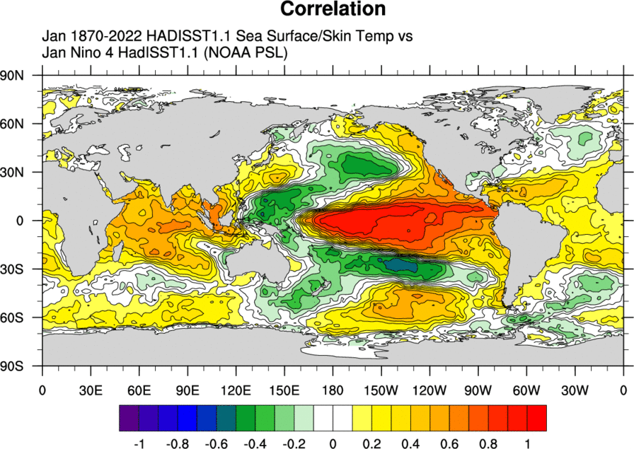
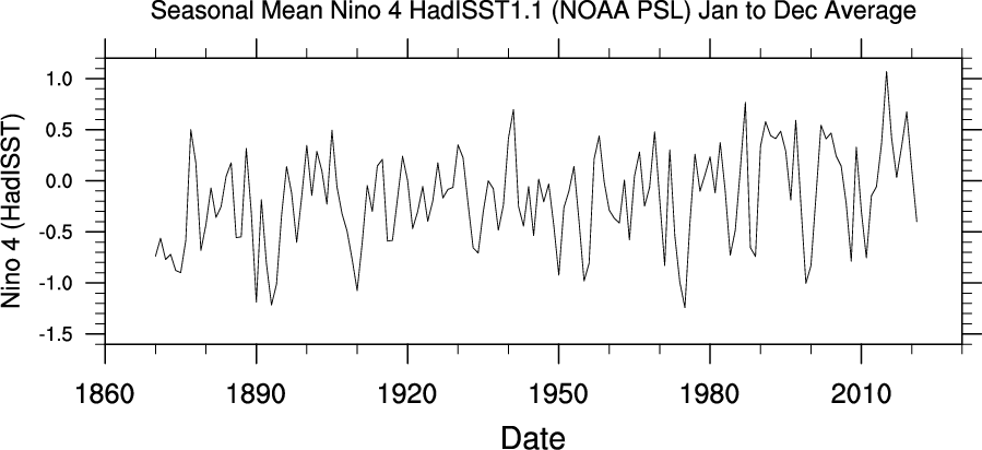
Niño 4 SST Index from the HadISST1.1
- Nino 4 is the area averaged anomalies over the Nino 4 region (5N-5S, 160E-150W) using a climatolgy of 1981-2010. Map of ENSO regions. Nino 4 is the furthest west.
Temporal Coverage
- Monthly values: 1870/01 to present
- Update Status: Monthly
Data Notes
- Units: degC
- Missing data value: -99.99
Time-series List
Usage Restrictions
- None
Caveats
- None
Related Time-series
- Nino 3.4
Links
- ENSO page with areas.
Analysis pages
Original Source
- Index is calculated at NOAA/PSL
Time-series source dataset(s)
- Input data for the index calculation is the HadISST1.1 SST analysis.
References
- Rayner N. A., D. E. Parker, E. B. Horton, C. K. Folland, L. V. Alexander, D. P. Rowell, E. C. Kent, A. Kaplan, Global analyses of sea surface temperature, sea ice, and night marine air temperature since the late nineteenth century, J. Geophys. Res., 108 (D14), 4407, doi:10.1029/2002JD002670, 2003.

